
THE Land Scape SITES
Each landscape within NWR SYSTEM functions as a living ecological observatory where water, soil, vegetation and biological interaction continuously shape the terrain through time.
Rather than treating landscapes as static agricultural surfaces, NWR SYSTEM studies them as dynamic biosphere systems capable of retaining water, buffering environmental stress and organizing ecological resilience through living processes.
Through hydrology, drone observation, ecological overlays and landscape monitoring, each field site reveals how biological systems interact beneath the surface.
THE WETLAND CORE
The Wetland Core forms the hydrological intelligence center of the pilot landscape.
Here, shallow wetlands, reed zones and living water structures slow down water movement across the terrain, allowing infiltration, sediment interaction and biological activation to emerge naturally over time.
Seasonal fluctuations continuously reshape the ecological behavior of the system, revealing how landscapes organize resilience through water retention and living soil interaction.
Observation focuses on:
- water buffering
- infiltration dynamics
- sediment stabilization
- reed ecology
- biological soil activation
- microbial interaction
- and seasonal wetland adaptation.
Through drone mapping, hydrological overlays and ecological monitoring, the wetland becomes a visible biosphere process rather than hidden infrastructure.
The landscape itself becomes the observatory.
GRAZING & HUMUS FIELD
Living Grass Systems
Soil Biology
Regenerative Grazing Observation
The Grazing & Humus Field studies the interaction between grassland ecology, living soils and biological regeneration across agricultural terrain.
Root systems, grazing pressure, organic matter cycles and seasonal vegetation patterns together influence how landscapes develop humus, regulate moisture and stabilize ecological function over time.
Rather than focusing on production alone, the observation field studies how living grass systems contribute to long-term landscape resilience.
Field observations include:
- soil moisture behavior
- humus formation
- vegetation response
- root development
- biological activity
- infiltration capacity
- and ecological carrying capacity.
The monitored landscape demonstrates how biological interaction within the soil system directly influences water buffering, resilience and ecological balance.
WATER FLOW CORRIDOR
Hydrology
Landscape Flow
Ecological Connectivity
The Water Flow Corridor follows how water travels through the landscape across drainage systems, infiltration zones, wetlands and natural gradients.
These connected hydrological pathways reveal where water slows down, infiltrates, accelerates or becomes ecologically buffered through vegetation and living soils.
The corridor exposes the invisible intelligence of the landscape itself.
Observation includes:
- water level fluctuations
- flow direction
- ecological buffering
- retention capacity
- seasonal hydrology
- landscape gradients
- and wetland connectivity.
Through continuous observation, the corridor reveals how water naturally organizes landscape resilience when ecological systems remain connected.
FIELD OBSERVATION PLATFORM
Drone Mapping
Monitoring Points
Landscape Document
NWR SYSTEM combines ecological field observation with spatial monitoring technologies to create a continuously evolving biosphere observation platform.
The landscape is documented through:
- drone observation
- hydrological overlays
- ecological dashboards
- fixed monitoring points
- seasonal imagery
- water retention analysis
- and landscape intelligence mapping.
Rather than controlling landscapes through intervention alone, the platform seeks to observe how living systems organize themselves through interaction between:
- water
- soil
- biology
- vegetation
- microbiology
- and time.
Observation becomes ecological intelligence.
ECOLOGICAL INTELLIGENCE LAYER
Landscape Integrity Score
Living Ecological Data
Biosphere Observation
Each pilot landscape contributes to the evolving ecological intelligence architecture of NWR SYSTEM.
Through the Landscape Integrity Score and the LHI Ecological Framework, monitored landscapes are studied across five ecological pillars:
- Humus Mass
- CEC Capacity
- Biological Life
- Water Retention
- Nutrient Binding
Together, these layers create a living ecological profile that reflects the carrying capacity and resilience of the observed landscape system.
The platform does not reduce landscapes to isolated metrics.
Instead, it studies how ecological interaction emerges between hydrology, soil biology and biosphere systems over time.
“The LHI Index does not measure production alone.
It measures the ecological carrying capacity of living landscapes.”
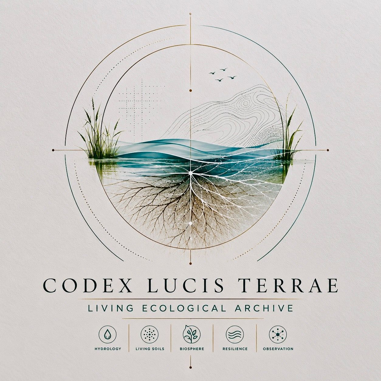
CODEX LUCIS TERRAE
Living Ecological Archive
Biosphere Documentation
Landscape Memory
Beneath the observation platform exists the Codex Lucis Terrae — the living ecological archive of NWR SYSTEM.
The Codex functions as a continuously expanding archive documenting:
- hydrology
- living soils
- ecological resilience
- biodiversity interaction
- landscape intelligence
- and biosphere observation.
Through field studies, diagrams, ecological mappings and monitored pilot systems, the archive seeks to preserve the evolving relationship between water, biology and landscape through time.
Not as ideology.
But as observed ecological memory.